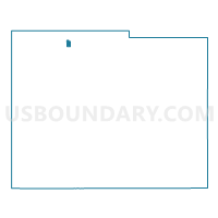
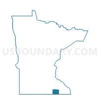
Waltham Voting District, Mower County, Minnesota
About
Outline

Summary
| Unique Area Identifier | 603230 |
| Name | Waltham Voting District |
| County | Mower County |
| State | Minnesota |
| Area (square miles) | 0.46 |
| Land Area (square miles) | 0.46 |
| Water Area (square miles) | 0.00 |
| % of Land Area | 100.00 |
| % of Water Area | 0.00 |
| Latitude of the Internal Point | 43.82023360 |
| Longtitude of the Internal Point | -92.87486100 |
Maps

Graphs
Select a template below for downloading or customizing gragh for Waltham Voting District, Mower County, Minnesota